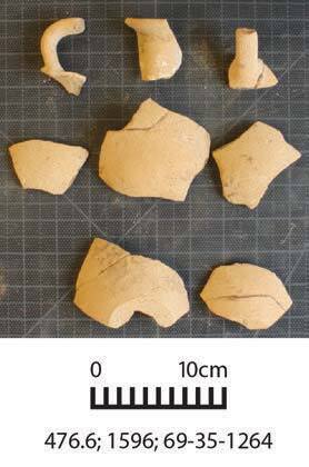
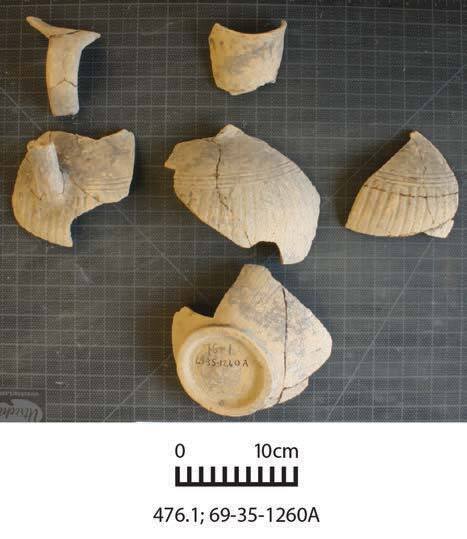
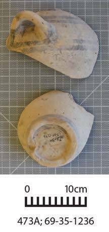
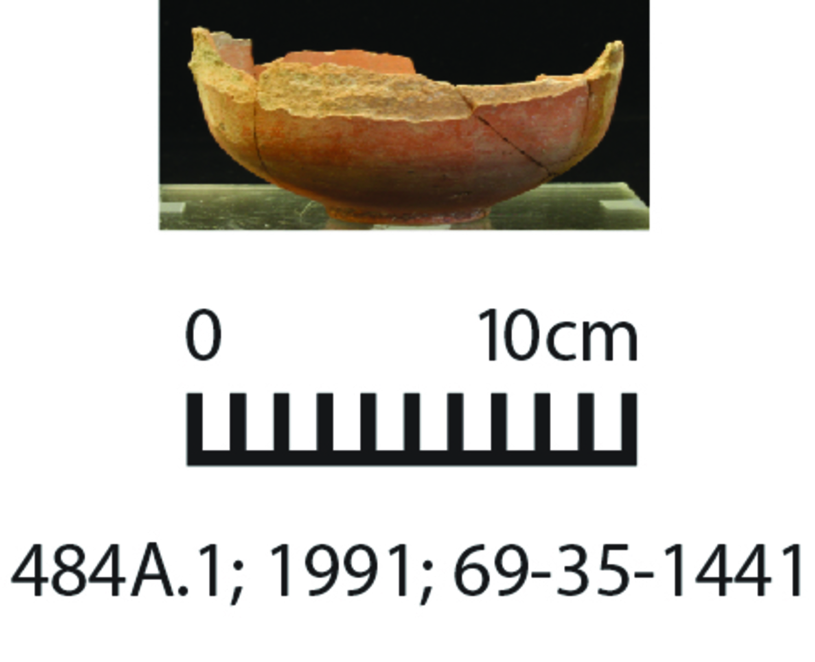
Approximate cemetery location (WGS 84) — 35.3381° N, 33.1743° E. The pin represents the Upper Geometric tomb cluster northeast of the former boys’ school on the Kastros plateau. It was estimated from Diakou’s plans (2013, pp. 780–781, figs. 4.3.8 and 4.3.10) using the Ayia Anastasia church as a geographic control. Allow roughly 75 m of uncertainty.
Diakou, Stella. "Lapithos: The Upper Geometric Cemetery", PhD, Department of Classical and Near Eastern Archaeology, Bryn Mawr College, 2013
, Figure 4.3.8, 4.3.10, Page(s) 780–781.
Diakou, Stella. The Upper Geometric Cemetery at Lapithos University of Pennsylvania Museum Excavations 1931-1932. Studies in Mediterranean Archaeology CXLVI. Uppsala: Astrom Editions, 2018